My Planner
To build your own Itinerary, click  to add an item to your Itinerary basket.
Already saved an Itinerary?
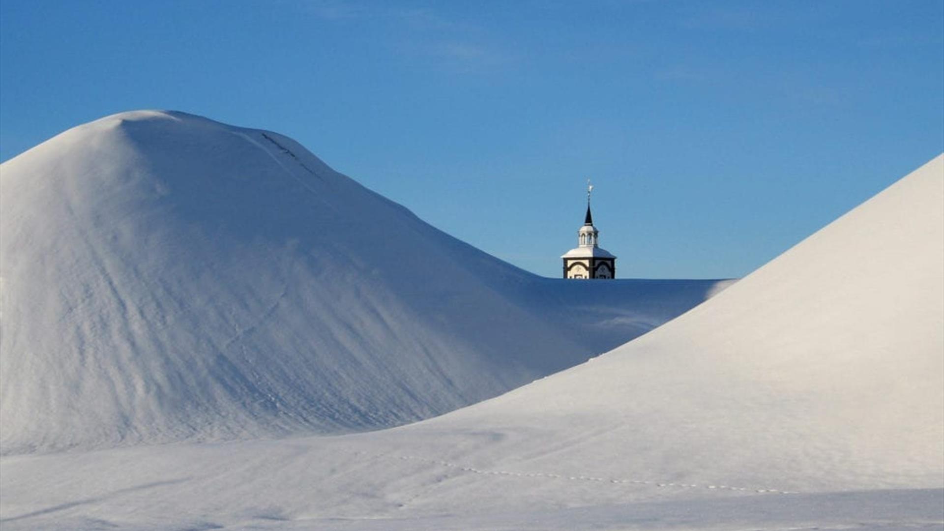
 Røros kirke og Slegghaugene
You are here: About us > Information about Røros
Information about Røros
Information about Røros
Destination Røros stretches from Nord-Østerdalen in Innlandet county to the southernmost part of Trøndelag county and also has a border towards Sweden. The Forollhogna and Femundsmarka National Parks form a framework around one of Norway’s most exciting areas of natural and cultural history.
Download the English version of the Tourist Guide for Destination Røros.
GETTING HERE
There are several ways to get to Røros, whether you choose to go by plane, train or car. We have listed them on this page, for your convenience.
HISTORY AND CULTURE
In the midst of the Røros region lies the town of Røros, which in 1980 was placed on UNESCO’s World Heritage List.
This mining town began to take form in 1644, when the first copper ore was extracted on the mountain plateau. Before that, there were only a few farms in the area.
When the mining started, there were few people living here. Among the people trying to survive in the mountains with its unforgiving winters, were the indigenous people of Scandinavia, the Sámi. Today, more than 20 Sámi families reside here – actively working with reindeer husbandry.
Today, the small town of Røros is almost like a living museum, and the entire town centre with its authentic wooden structures is protected, with many listed buildings. At the same time, this is also a town in full use with a history that is still unfolding.
As you explore Røros’ narrow streets, old courtyards and buildings, you will find an amazing number of charming shops and interesting workshops. The town is famous for its great number of artists and craftsmen, and it can also boast of an impressive list of award-winning designer products.
Some of the farms and mountain villages in this region, may seem like chapters from bygone times. The unusual cultural landscape has been formed by the agricultural traditions that have been closely incorporated into the entire region. One excellent example of magnificent cultural landscaping is the mountain village of Vingelen with its 30 farms spread across a south-facing hillside. This is one of Norway’s very few, still active, summer farming areas where you will see farm animals grazing in the summer.
NATURE AND CLIMATE
If you see the Rørosvidda Mountain Plateau from the air, you will realise just how expansive this wilderness area is. This region has two national parks: Femundsmarka and Forollhogna national park.
In the summer you can also sail on the third largest lake in Norway, Lake Femunden, and the famous salmon river Gaula.
Except for the northernmost area, Røros has an inland climate with little precipitation but with large temperature variations between summer and winter. Røros is particularly popular in the winter, with its crisp white snow – a sparkling white winter dream.
KEY FACTS
The Røros region includes the municipalities of Røros, Os, Tolga, Tynset and Alvdal.
Femundsmarka National Park
Founded in 1971 and situated between Lake Femunden and the Norwegian-Swedish border. Total area of 573 km2.
Forollhogna National Park
Founded in 2001 and situated on the borders between the municipalities of Holtålen, Os, Tolga, Rennebu, Tynset and Midtre Gauldal. Total area of 1062 km2.
Lake Femunden
Norway’s third largest lake is over 200 km2, stretching more than 62 kilometres at 662 metres above sea level.
WEATHER AND CLIMATE
There is a relatively small amounts of precipitation in the region, with great variations in temperature throughout the year. There are also substantial differences between night- and day temperatures.
Average temperatures (2006-2016) for Røros (in °C):
| Month | Jan | Feb | March | Apr | May | June | July | Aug | Sept | Oct | Nov | Dec |
| °C | -4,6° | -4,3° | -2,2° | 1,8° | 5,7° | 8,7° | 12,3° | 12,3° | 8,5° | 3,6° | -0,3° | -2,9° |
Source: yr.no
In December, the sun rises at approximately 9:30am and sets at 2:30pm.
In June, the sun rises at 3am and sets at midnight.
POPULATION AND AREA
Røros municipality has 5600 inhabitants. Of these, 3700 live in and around the town centre. Area: 1956 km2
Os municipality has 2100 inhabitants. Area: 1225 km2
Tolga municipality has 1700 inhabitants. Area: 1122 km2
Tynset municipality has 5500 inhabitants. Area: 1880 km2
Alvdal municipality has 2300 inhabitants. Area: 918 km2
Note: All numbers are approximate.
MOUNTAINS, RIVERS AND LAKES
Elgpiggen is the highest peak in the region at 1604 metres above sea level.
The longest river in Norway, Glomma starts around lake Aursunden (in Røros municipality).
Lake Femunden, partly in Røros and Os, is Norway’s third largest lake and stretches over 60 km.


